Explore Dundreggan
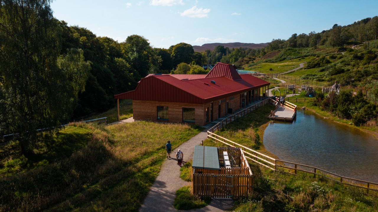
You are not just a visitor to this landscape or to nature; you are part of it, and our rewilding journey is visible in the landscape here at Dundreggan.
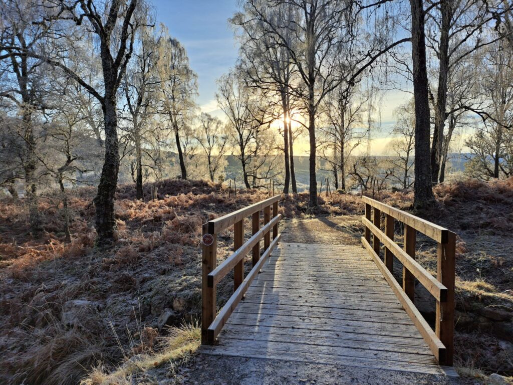
It is in the regenerating woodland; in the birds, mammals, insects and fungi that exist together in the branches; in the bogs, roots and the earth beneath your feet.
Explore our footpath network to see rewilding in action and experience what makes Dundreggan so special.
We have a range of footpaths with different levels of challenge, from fully wheelchair accessible to steep and strenuous.
Each path offers its own opportunities to experience Dundreggan’s wonderful wildlife and heritage.
Our path descriptions and symbols follow Paths for All guidance and offer information about the gradient and surface.
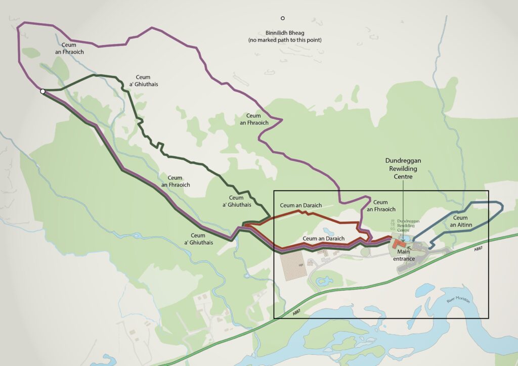
Our footpaths
Ceum an Aitinn (‘kame un AHTCH-in’) the juniper path
916m (approx ½ mile) | Allow 30 minutes | All-access
A great low-level circular path taking you past lush juniper, hidden burns, signs of past people and a chorus of birdsong.
Accessibility: A wide, semi-bound surfaced path with an optional short and moderately steep there-and-back detour to a waterfall viewpoint.
Ceum an Daraich (‘kame un DAR-ich’) the oak path
1.2km (approx ¾ mile) | Allow 45 minutes | Moderate
A circular route passing by our tree nursery, sìthichean (fairies), ancient oaks, and mature regenerating woodland dripping with mosses and lichens.
Accessibility: Wide, semi-bound surfaced path with several short, moderately steep sections.
Ceum a’ Ghiuthais (‘kame uh YOO-ish’) the pine path
2.2km (1 ¾ miles) | Allow 1 hour 30 minutes | Strenuous
Really explore Dundreggan through woodland to open moorland with views over one of our planting areas and shieling remains, before returning downhill past regenerating trees, wood ant nests and fragrant bog myrtle.
Accessibility: A steep, rough and often narrow path, with frequent obstacles and boggy patches. Caution: some burn (stream) crossings may be impassable after rain.
Ceum a Fhraoich (‘kame un ROEU-ich’) the heather path
4km (2 ½ miles) | Allow 2 hours | Strenuous
A circular route passing stands of old pines to open moorland with glorious views of Glenmoriston.
Accessibility: Rocky, steep, rough but wide track winding up toward the base of Binnilidh Bheag. It is possible to reach this summit across rough, pathless ground. Caution: some burn (stream) crossings may be impassable after rain.
